 |
|||||||
Topographic and bathymetric data
We are able to undertake our own ground surveys of a client's area of interest, or can source and process new or historical topographic and bathymetric datasets as required:
- RTK GPS surveys, using Leica Viva Smartrover equipment, with base station if required, with typical position and height accuracies of 6 mm and 9 mm respectively. This technique is ideal for feature mapping in the field, or for monitoring temporal change along fixed profiles lines
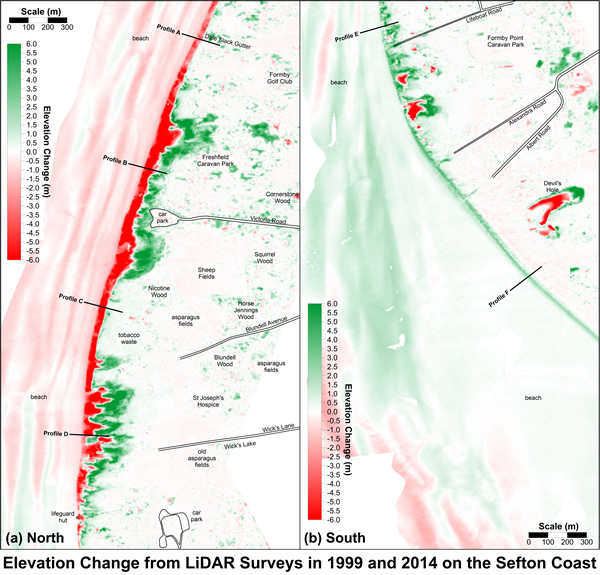
- Airborne LiDAR surveys, which are ideal for generating digital terrain models, with modern surveys having a pixel resolution of 25 to 50 cm, and a typical vertical accuracy of between 10 and 15 cm.
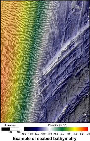
- Bathymetric survey data, taken as either as single beam or multibeam, used to generate seabed terrain models and interpret seabed features
- Topographic and bathymetric datasets are synthesised into a GIS, allowing calculation of area and volume change over time. We undertake all processing in-house, using automation routines where required, and results presented in formats required by the client, including ESRI shape and grid formats, AutoCAD, or text and orthorectified picure formats.
- We are also able to digitise and rectify historical maps, charts and aerial photographs, and encorporate these into a GIS, providing a historical context to any project. We have built up an extensive collection of rectified maps and photographs from around the UK and Ireland, or are able to source documents for a client's case study area.

